
Layers
A layer for every crew.
Power, security, vendors, parking — file the plan by who needs it, and switch the rest off when you print.

Map Lab · Event site planner
Lay out your whole site on real satellite imagery — every tent, stage, and fence line at true scale — then share one live map with everyone who builds it.
270+
event objects at their real footprints, from canopy tents to cable matting.
1:1
true scale on satellite imagery of the ground you’re actually using.
$0
for the vendors, crew, and venue you share a map with — they open it free.
How it works
Three steps, one map. No CAD seat, no screenshots with shapes drawn on them, no sixth round of email.
01
Search the address and the satellite view comes up at true scale. Trace the boundary once, and everything you place after is measured against it.
02
Drag from 270+ ready-made objects or make your own. Array a row of tents, set the aisle, and the footprint on the map is the footprint on the lawn.
03
Send a link to view, comment, or edit — it always opens the latest version. Export a print-ready PDF for the permit desk and the full count as Excel for the rental order.
Live demo
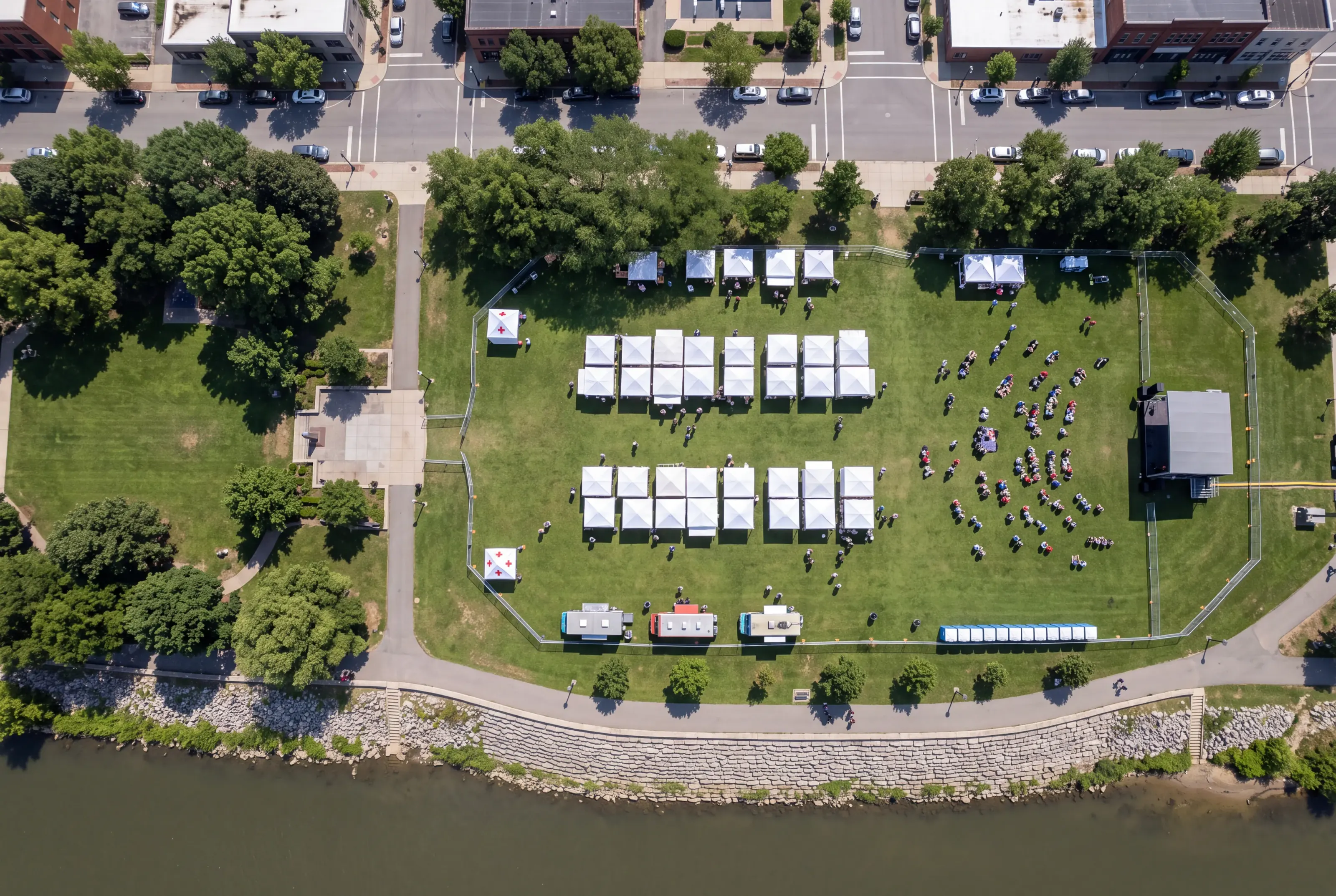
A finished plan for a riverfront arts weekend, running in the real Map Lab. Drag anything, switch layers, export the PDF — nothing you do here is saved.
Features
The tools you reach for between the first sketch and the morning of the event — and none of the ones you don’t.
Layers
Power, security, vendors, parking — file the plan by who needs it, and switch the rest off when you print.
Review
Reviewers drop a note exactly where the problem is. You fix it on the map and resolve it there.
History
Undo as far as you need, see who moved what, and save a restore point before the big edits.
PDF export
The area you choose, with a legend, a scale bar, and a QR code that opens the live map.
Excel export
Every object on the plan with its size, layer, and quantity — ready to send to the tent company.
Field mode
Scan the QR on the printout, save the map to a crew phone, and walk the lawn with the whole layout in your pocket — no data needed once it’s saved.
Who it’s for
From a one-day block party to a three-stage weekend, it’s the same job: fit everything on the ground, then get everyone on the same page.
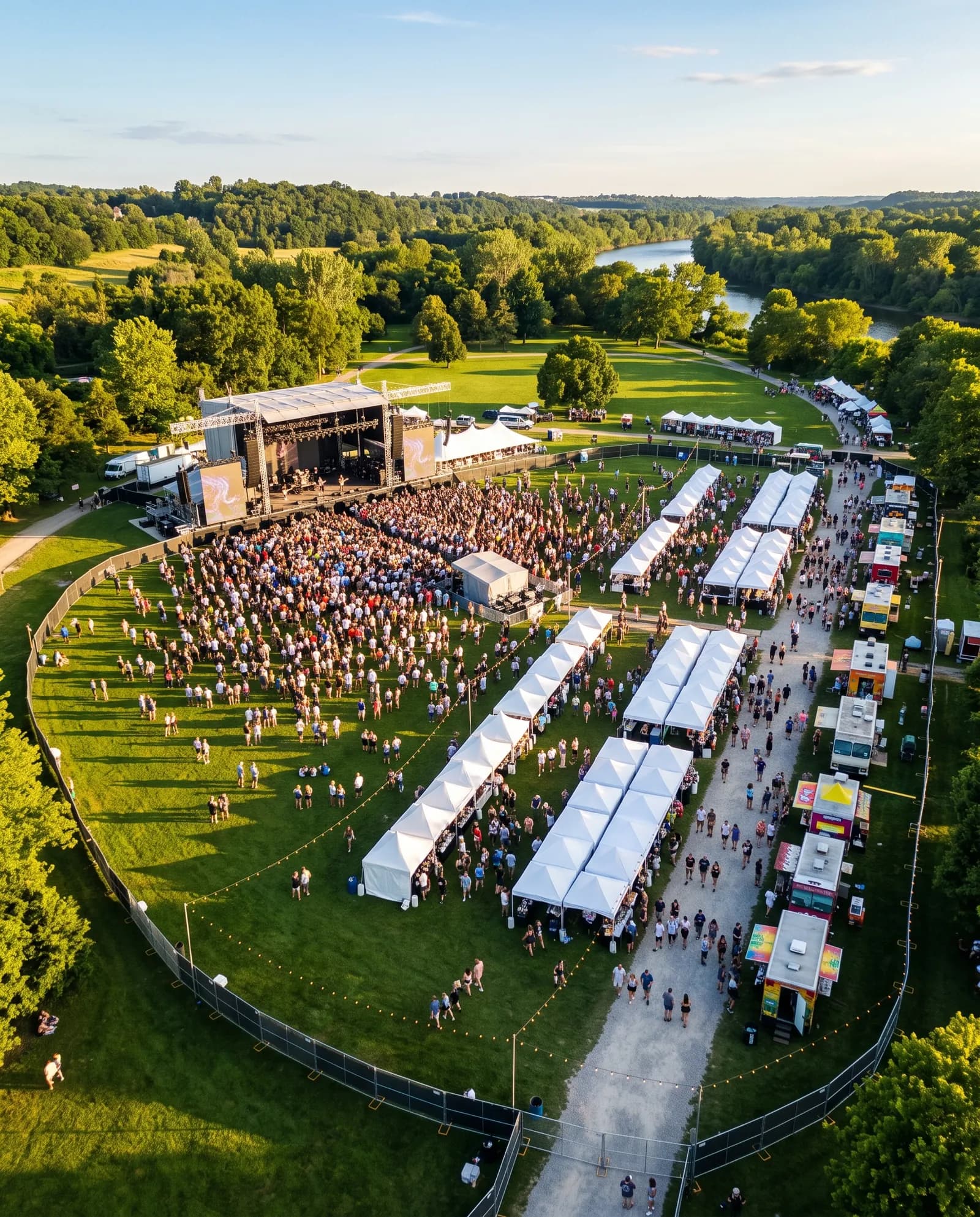
Stages, vendor rows, and first aid, with room for the crowd in front of it all.
Stage · Vendor rows · Crowd area

The marquee, the dance floor, the bar, and where the caterer parks.
Marquee · Dance floor · Bar
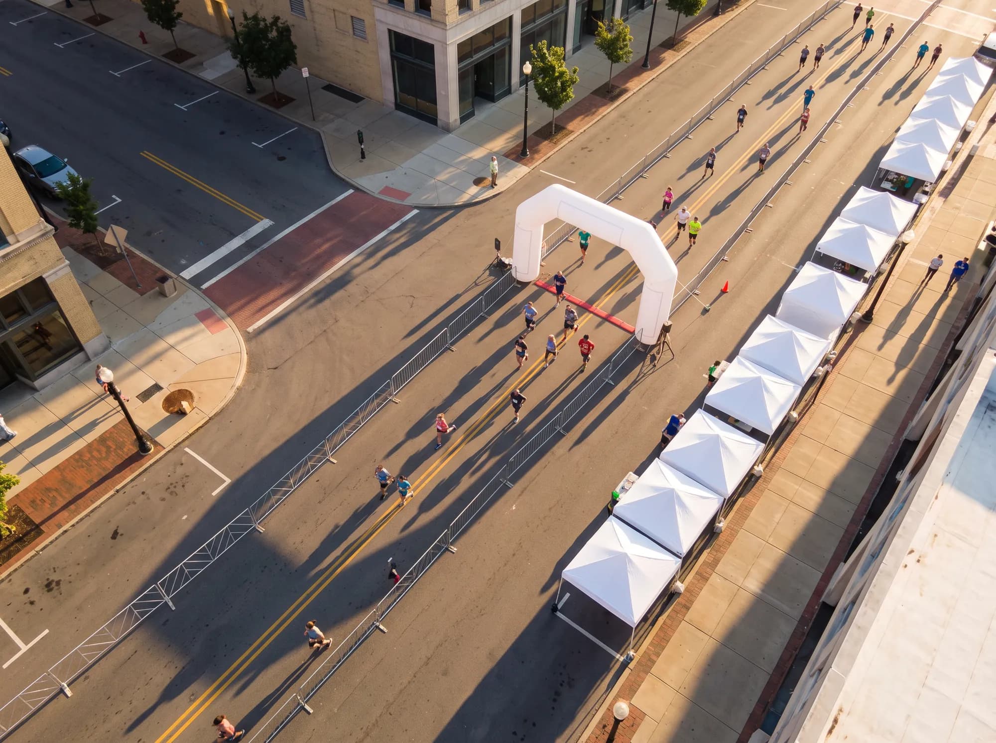
Start and finish chutes, water tables, barricades, and the closure.
Finish arch · Barricade · Water
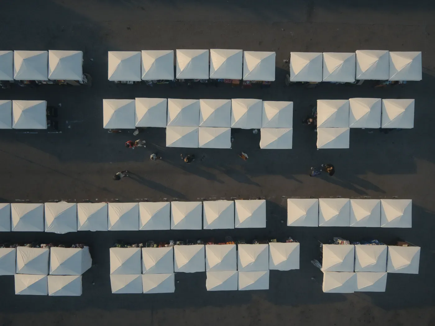
Booth grids that fit the lot, with aisles wide enough for a stroller.
10 × 10 booths · Aisles · Power
Pricing
Lay out the whole event at no cost. Unlock one event for $29, or go Pro when you plan more than a few a year. Anyone you share a map with opens it free.
Free
One active plan, up to 40 objects, and a view link.
$0forever
Single Event Pass
One event, 90 days of editing, 1,500 objects, and every export.
$29/event, once
ProRecommended
Unlimited plans and objects, custom objects, and edit links. 7‑day free trial.
$29/month
Team
Everything in Pro for 5 people, with roles and live editing together.
$89/month
Yes. One active plan at a time, up to 40 objects, satellite maps, and a view-only link — no card and no trial clock. It’s there so you can lay the whole event out before deciding anything.
No. Vendors, crew, the venue, a permit office — anyone you send a map to opens it free. A comment or edit link asks them to sign in, and that account is free too.
Every object is drawn at its real footprint on satellite imagery measured in feet, so a 10 × 10 ft tent covers 10 × 10 ft of ground. Imagery can be a few feet off on some sites, so walk the key clearances before the trucks arrive — the plan will match what you pace out.
Yes. Save a map to your phone and it opens offline, imagery included. The QR code on a printed PDF opens the live map for anyone with the paper in hand.
A print-ready PDF of the area you choose, with a legend, scale bar, and QR code, and an Excel or CSV list of every object with its size, layer, and count. Exports come with a Single Event Pass, Pro, or Team.
You do. Nothing is deleted or hidden if a plan ends — your maps stay where they are and the workspace carries on under the free plan’s limits. Export your data whenever you like.
Start free
Name it, pick the date, and you’re placing the first tent. Your first map is two questions away.